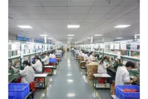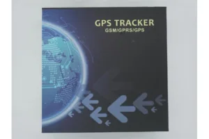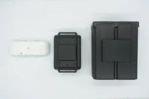

In the demanding world of logistics and asset management, a “lost signal” is more than an inconvenience—it is a blind spot in your business intelligence. Traditional tracking systems often struggle in “Urban Canyons” where skyscrapers block the sky, or in remote sites with limited satellite visibility. Consequently, moving beyond a single-system approach is essential for modern fleet security. By utilizing multi-constellation GPS trackers, businesses can access a global network of satellites from the US (GPS), China (BDS), and Russia (GLONASS) simultaneously. This guide explores the technical advantages of multi-system tracking and why it is the new gold standard for reliability.
1. The Speed of Detection: 32-Second Cold Starts
When a vehicle starts its journey, every second of “blind” travel is a risk. Single-system trackers often hunt for a signal for minutes if they have been powered down. However, multi-constellation GPS trackers drastically reduce this “Time to First Fix” (TTFF).
- The 32s Benchmark: By scanning multiple satellite frequencies at once, our high-performance modules achieve a cold start in approximately 32 seconds.
- The Advantage: You receive location data almost immediately after the ignition turns over.
Consequently, you eliminate the data gaps at the beginning of a route. Furthermore, this speed is crucial for emergency recovery scenarios where every second counts. Therefore, multi-system integration provides a faster operational readiness for your entire fleet.
2. Deep Signal Penetration: -162dBm Tracking Sensitivity
In dense downtown areas or under heavy foliage, satellite signals become incredibly weak. A standard receiver might lose its “lock” as soon as it enters a shaded street. Modern multi-constellation GPS trackers are engineered with a tracking sensitivity of -162dBm.
- What -162dBm Means: This represents the ability to “hear” a whisper-quiet signal from space, even through physical obstructions like glass, thin roofs, or urban bridges.
- Consistent Tracking: While others “drift” or fail, these high-sensitivity units maintain a precise breadcrumb trail.
Consequently, your reporting remains accurate even in the “Urban Canyons” of major metropolises. Furthermore, the increased sensitivity reduces the “positional jitter” seen in lower-quality hardware. This ensures that your geofence alerts are only triggered by real movement, not signal noise.
3. Reliability Comparison: Single vs. Multi-Constellation
| Feature | Single GPS Solution | Multi-Constellation GPS Trackers |
| Available Satellites | 8 – 12 | 24 – 35+ |
| Cold Start Time | 60 – 90+ Seconds | ~32 Seconds |
| Tracking Sensitivity | -145dBm to -155dBm | -162dBm (Ultra-High) |
| Urban Performance | High Signal Loss / Drifting | Stable & Reliable Fixes |
Consequently, the multi-constellation approach provides a redundant safety net. If a building blocks the GPS satellites in the West, the tracker can instantly pivot to Beidou or GLONASS satellites in the East or North. Furthermore, the combined data points allow the algorithm to filter out “multi-path” errors caused by signals bouncing off glass buildings. Therefore, you receive a location fix that is not only faster but significantly more truthful.
Conclusion: No More Blind Spots
In professional asset tracking, “close enough” is never enough.
Stop settling for fragmented data and unreliable signals that disappear when your vehicles enter a city center. Instead, embrace the global precision of multi-constellation GPS trackers designed for the most challenging environments on Earth. Consequently, you will enjoy total visibility of your assets from the deepest urban canyons to the most remote construction sites. Experience the security of -162dBm sensitivity and 32-second fixes today. Your fleet deserves a tracker that never stops watching.